 |
Rospez (Côtes
d'Armor)
Rospezh
Nom breton |
 |

Présentation
| arrondiss. |
Lannion |
| canton |
Lannion |
| habitants |
Rospeziens |
| 22265 |
|
Rospez
(Rosbeith) est formé à partir de l'ancien breton "ros"
(tertre ou colline), et d'un second élément inconnu.
Note : la commune de Rospez est
formée des villages : Guermunut, Pen-an-Allé, Pen-an-Feunteun, Kerinou,
Pors-an-Lan, Goazouré, Kerabouhan, Poul-ar-Born, Couvent-Rabiner, Couvent-Lauré,
Ty-Cornic, la Ville-Neuve, Poulzanc, Squivit, Kerouas, Coatdou, Roudia, le
Mestic, le Crec'h, Brozos, Couvent-Allanic, Dogmel, Kernou, le Vot, Garic,
Gourhan, Guelo, Crec'h-Quiniou, Coat-Jorand, Coat-Rouat, Kerfeuillen, Guiriguen,
Keriou-Izellan, Keriou-Bras, Beau-Regard, Pen-Quer, Kerhuel, Michel-Perrat.
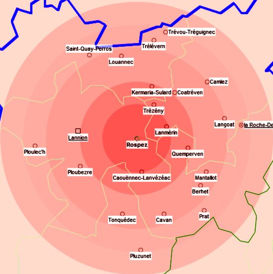
(Carte toponyme -CDIP) |

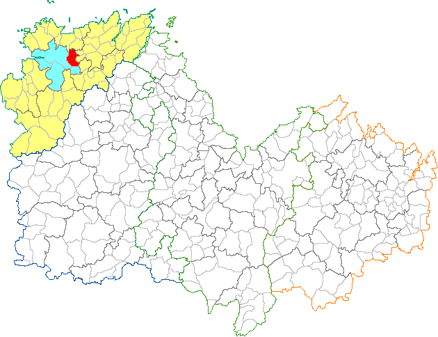
(Situation département-Wikipédia) |
(Situation ville-Wikipédia) |
|
(Carte Google)
|
Site Mairie :

Photos
Cartes postales
Cartes postales anciennes
(cdip)
Carte de Cassini
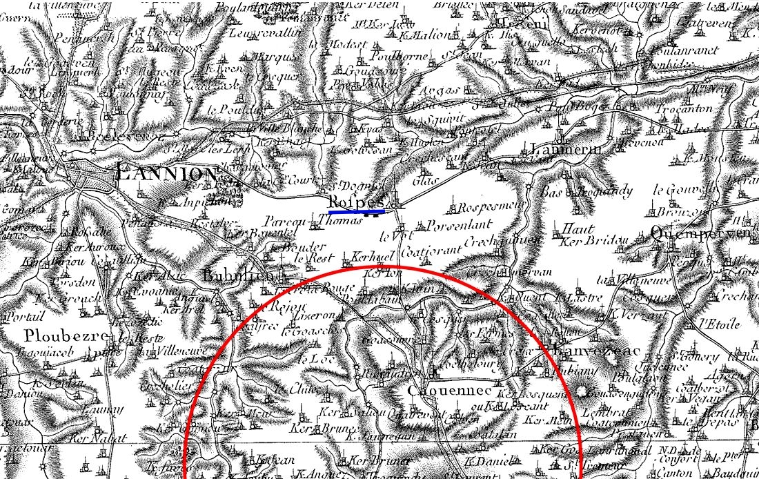
(Carte de
Cassini-CDIP) |
Cadastre-Plan d'intendance
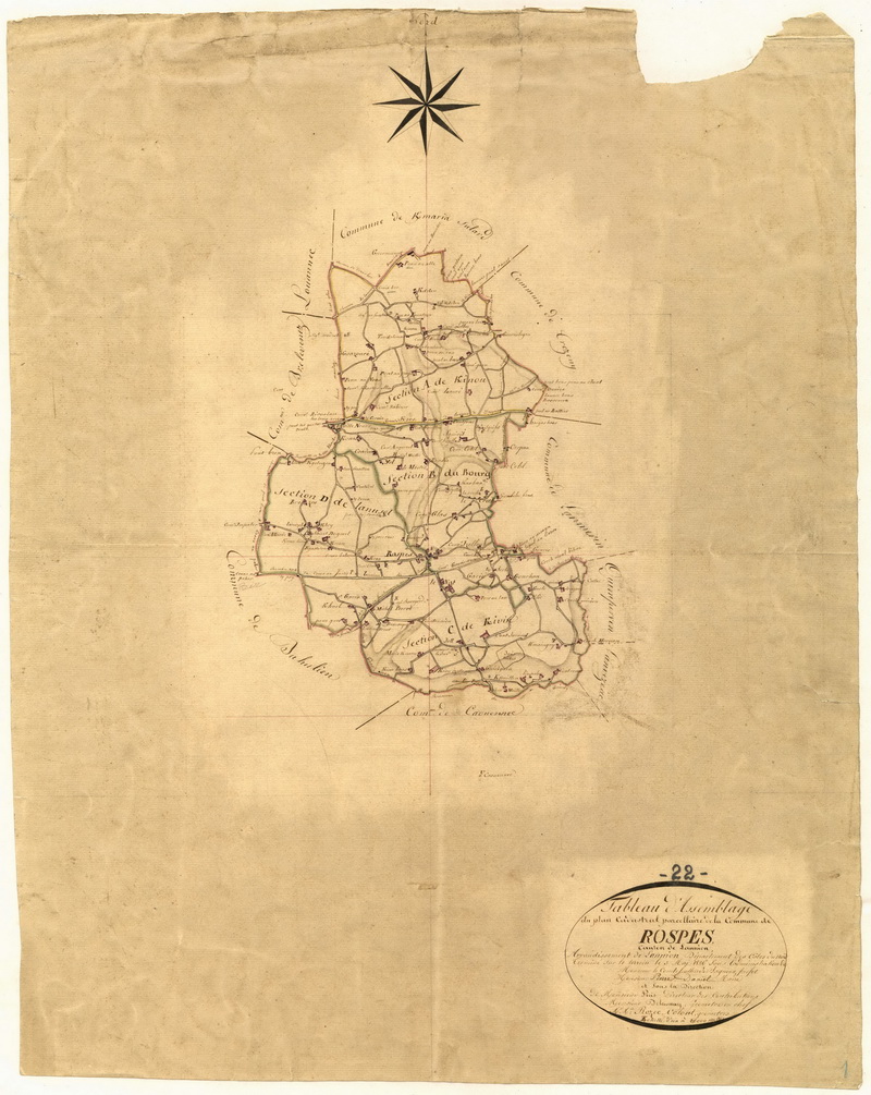
(Cadastre-
Archives départementales) |
|


